
© 2025 Blaze Media LLC. All rights reserved.
Newly released aerial images from the National Oceanic and Atmospheric Administration (NOAA) show the devastating toll Hurricane Irene took on many coastal areas up the eastern seaboard.
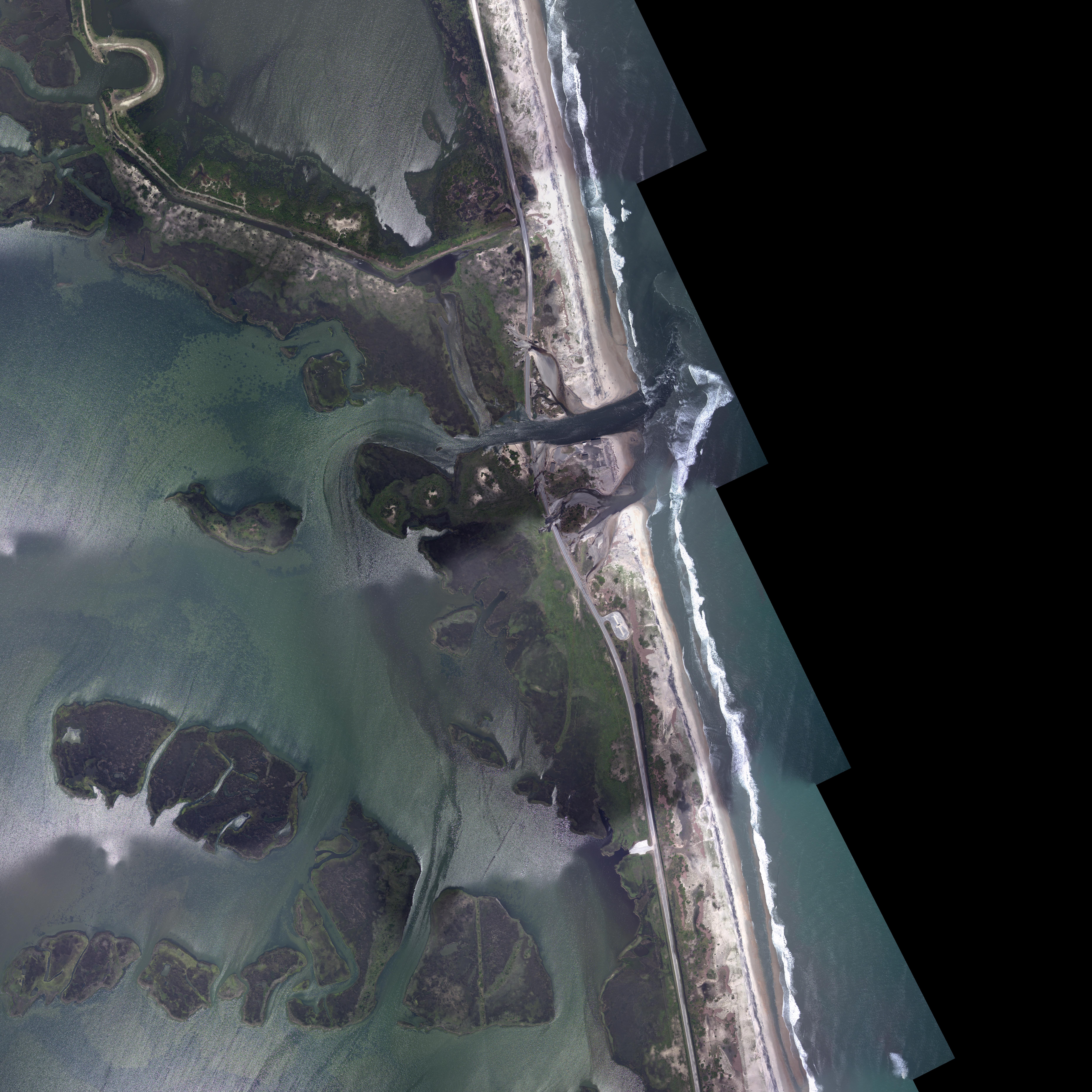
This image (via Wired) shows how the powerful storm surge carved away at the beach and drove its way inland on Hatteras Island, North Carolina:

According to local news estimates, the major seawater breach shown above is more than 100 feet wide and 8 feet deep.
Click here to see more post-Irene coastal images.
Want to leave a tip?
We answer to you. Help keep our content free of advertisers and big tech censorship by leaving a tip today.
Want to join the conversation?
Already a subscriber?


