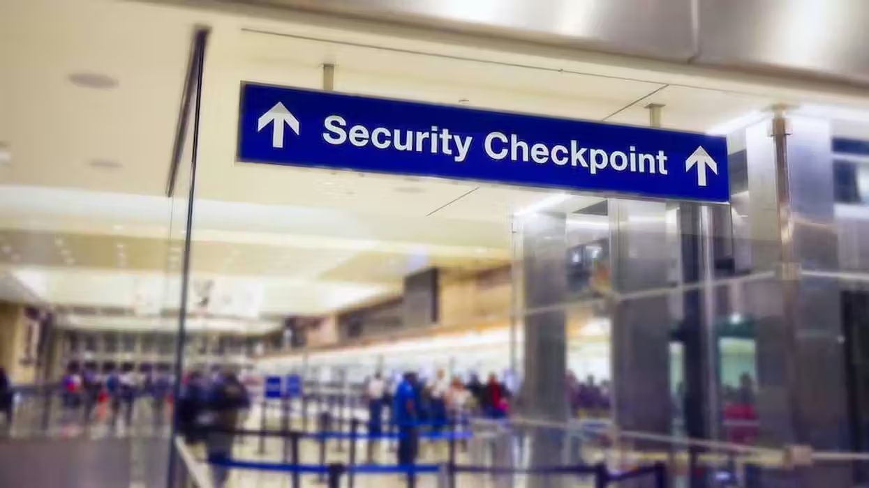
Sheepskin map held by the Library of Congress since the 1930s
Experts are revisiting a centuries-old sheepskin map that could rewrite history as we now know it. It's been held by the Library of Congress since the 1930's but new questions are being raised as to what the document might really tell us.
 Sheepskin map held by the Library of Congress since the 1930s (Image source: Library of Congress)
The map appears to show the west coast of North America, modern-day Alaska, the Aleutian Islands, and the Bering Strait. Carbon dating suggests it dates back to as early as the 14th century. If true, that would mean the document is a copy of the original. But even if it is only a copy, that would still mean it was created three hundred years before Christopher Columbus' time.
Columbus, of course, is the man many believe first discovered the New World.
"It would mean that an Italian got knowledge of the west coast of North America or he heard about it from Arabs or Chinese," said Benjamin B. Olshin, a history professor at the University of the Arts in Philadelphia, told Smithsonian Magazine.
Marco Polo, the Italian referred to by Olshi, apparently met with a Syrian trader on the far eastern edge of Asia. The trader told Polo about a land "far east" called the "Peninsula of Seals." Polo then set sail in search of it. What he later discovered upon his arrival were people who wore seal skins, ate only fish and lived "under the earth."
These details seem to describe a place much like Alaska. That would make sense because Alaska is just 51-miles from the eastern edge of Asia, where Polo met with the Syrian trader. The documents suggest Polo sailed around Alaska, around the Aleutian Islands, on to British Columbia, and down the Canadian coast. Gunnar Thompson, another expert who's studied the maps, said Polo made it as far as the state of Washington and Puget Sound.
However, there are at least a couple of potential fallacies in the account, as the Daily Mail reported.
The first of which is that Marcian Rossi, who donated the document to the Library of Congress, said he inherited them from a wealthy family member. Secondly, Polo never mentioned such travels in his personal narrative "The Travels of Marco Polo," although on his death bed he said "I did not tell half of what I saw."
(H/T: Daily Mail)
Follow Jon Street (@JonStreet) on Twitter